Big Laurel Falls
Nantahala National Forest
Easy
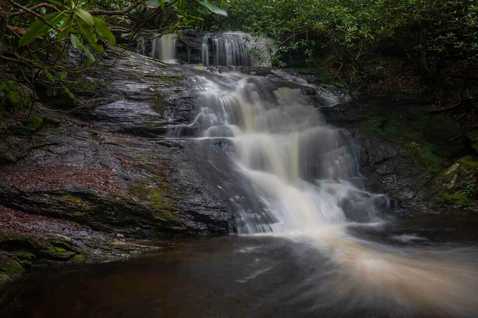
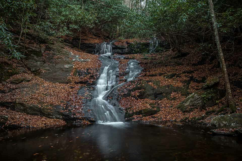
At only 1/2 mile from the road, Big Laurel Falls is a great spot to visit, hang out, and enjoy while you are in the Nantahala National Forest.
(Video: 4 minutes 12 seconds)
+more (video transcript)
Near the end of Big Laurel Branch, inside the Nantahala Forest of North Carolina, is the quaint and easy to reach - Big Laurel Falls. While it isn't a very big waterfall, the phrase big comes from the creek name, it is a beautiful multi-tiered waterfall that is about 20ft high. It is also very easy to reach as it is only about 1/2 a mile from the road on a very well maintained trail.
The Nantahala National Forest is the largest National Forest in the state of North Carolina spanning over 830 square miles; almost the entire Western tip of the state. It is a mountainous region with numerous rivers, lakes, waterfalls, and popular North Carolina attractions.
The trailhead for Big Laurel Falls is located on the unpaved forest road FR67 near Standing Indian Campground. While the road is unpaved it is generally in good condition and accessible for most vehicles. The roads in this area are subject to seasonal restrictions and are usually closed during the winter months. You could approach from either Highway 23 to the east or Highway 64 to the west. Look for the marked pull-off on the side of FR67. Big Laurel Falls is about 60 minutes from Franklin North Carolina or Clayton Georgia. There are no restroom facilities at the trailhead.
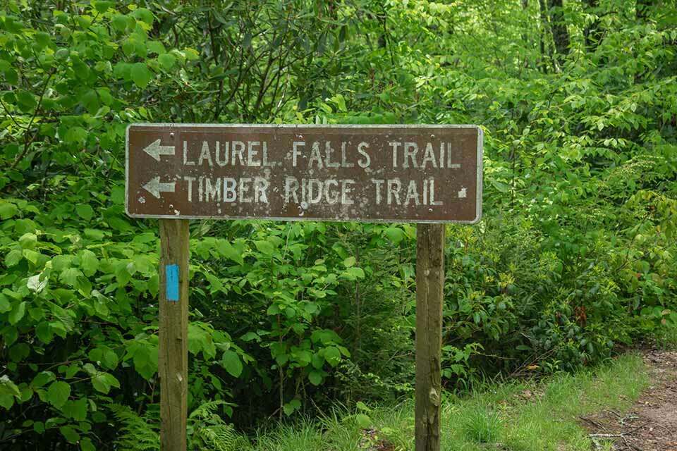
The hike is just a little over 1/2 a mile and is doesn't have much of an elevation change. The blue blazed trail starts next to the sign and descends slightly as you work you way down to the creek below. Fairly quickly you encounter a fork where you will go right. Just after this you will cross the creek over a nicely constructed bridge. The trail splits once more with the Timber Ridge Trail heading left and the trail to Big Laurel Falls going right.
From this point, there are no more forks in the trail. Just an easy and pleasant walk to the falls where you parallel various streams until reaching the falls. It is very soothing to hear the sound of the water flowing as you walk through this beautiful section of the forest.
Before long, the trail ends at Big Laurel Falls. The area just below the falls isn't too large but this destination isn't usually too crowded. In fact, every time we have visited Big Laurel Falls, we have been the only people there. There is also a small pool at the bottom of the falls which isn't large enough for wading but is perfect for dipping you feet into on a warm summer day. Whatever you do during your visit, you will want to take your time and enjoy the beautiful Big Laurel Falls.
This is an out and back hike so hike safely back to the parking area when you are done enjoying the falls.
Pictures
Address & GPS
Weather Details & Forecast

Current
Clear
25F
93% Humidity

Today's
Forecast
Forecast
Partly cloudy
28/59F
41% Humidity

Tomorrow's
Forecast
Forecast
Overcast
34/61F
51% Humidity

Wednesday's
Forecast
Forecast
Partly cloudy
36/57F
58% Humidity
Nearby Attractions
Mooney Falls (0.9 mi.)
Pickens Nose (2.6 mi.)
Albert Mountain Fire Tower (2.9 mi.)
Rufus Morgan Falls (8.9 mi.)
Pickens Nose (2.6 mi.)
Albert Mountain Fire Tower (2.9 mi.)
Rufus Morgan Falls (8.9 mi.)
Related Blog Articles