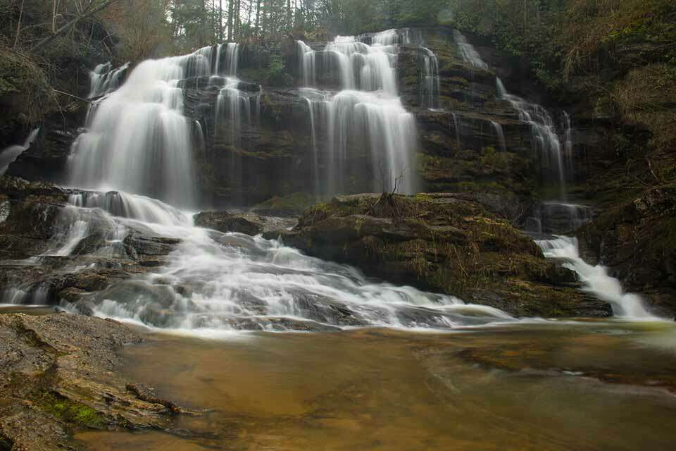
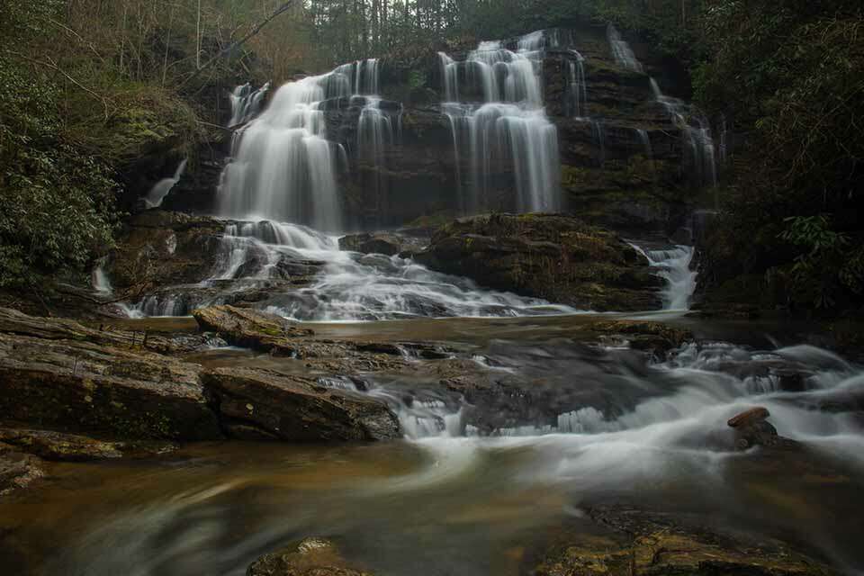
A short round trip hike that is just over 3 miles and you visit both the Chattooga River and one of the more picturesque waterfalls in the area.
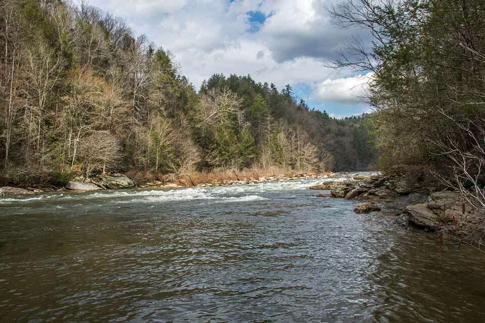
There are plenty of rocks and boulders downstream of Long Creek Falls to relax on and maybe have a picnic. The waterflow on Long Creek is usually good so the waterfall consistently puts on a good show. As an added bonus, the hike to Long Creek also provides a great view of the beautiful Chattooga River where Long Creek flows into it.
Right on the border between South Carolina and Georgia, in the Sumter National Forest, is the stunning 50 foot Long Creek Falls. These beautiful falls are only about 30 yards up from where Long Creek contributes its waters to the mighty Chattooga river. It is a perfect spot for hanging out and enjoying the sights and sounds of the waterfall, river and maybe even spotting a few kayakers working their way down the Chattooga. The moderate hike is just a little over a mile and half to reach the base of the falls.
The Sumter National Forest is one of only two national forests in the State of South Carolina. It consists of over 370,000 acres via several non-contiguous sections in Western South Carolina, North Carolina, and Georgia. It is the home of a number of rivers and waterfalls supporting activities like hiking, backpacking, canoeing, horseback riding, camping and fishing.
The trailhead for Long Creek Falls is located at the end of the unpaved Turkey Ridge Road in the community of Long Creek, South Carolina. While the road is unpaved, it is in good shape and easily traveled. Look for the sign to Opossum Creek Falls off Battle Creek Road before turning onto Turkey Ridge Road and follow it to a large parking area at the deadend. The trailhead and parking area isn’t marked but it is easy to find. There are no restroom facilities at the trailhead or anywhere nearby. Long Creek Falls is about 60 minutes from Franklin North Carolina or about 90 minutes from Greenville South Carolina.
The trailhead starts on the marked primitive road and follows it downhill from the parking area. To shorten the hike a bit, you could also drive on this section of the trail, if you have the proper vehicle. Whether you drive or walk, head down the road and bear right at the fork at the bottom of the hill. Follow this road until the it clearly ends at a small parking area. Vehicles will not be able to proceed any further past this point. The narrow trail continues on the right and passes a forest sign, while it gradually descends and winds along the ridge you will start to hear some of the rapids on the Chattooga. There will be a few small trails that cut left down to the river but you want to stay on the main trail for about three quarters of a mile. You will eventually take a side trail downhill to the left but it is an obvious turn as it is more established than the fading main trail. You will also hear the much louder Long Creek Falls which is very close at this point.
Take the trail down the hill for about 100 yards all the way to the shore of the Chattooga. The trail is steep but it isn’t too bad of a descent. As you work your way down the hill you may catch a glimpse of the falls through the trees but keep going as the view from the bottom is much better. Eventually, you end up at a large clearing where Long Creek feeds into the mighty Chattooga and the gorgeous Long Creek Falls is just upstream. The view of the falls from here is outstanding and the overall atmosphere is priceless; it is really a special spot in the forest. These falls are also one of the rare opportunities where you could stand in Georgia and view them in South Carolina, as the Chattooga river defines the border between the states.
The area on the shore of the river is quite large, but it is even larger on the other side of Long Creek. Depending on the level of the creek, you may or may not be able to cross without getting your feet wet. There are a number of large boulders and rocks up the creek that you can relax on and enjoy the view of Long Creek Falls. If there ever was a perfect spot to bring a picnic, this would be it.
This is an out and back hike so when you have finished enjoying Long Creek Falls, hike safely back to the parking area.


How do I rent the property directly in front of long creek falls
Angela, we are not familiar with that property and would suggest doing some research on popular rental sites like AirBnB or VBRO.