Beautiful rock formations, cliffs, and views that are accessible via a short 1.5 mile moderate trail.
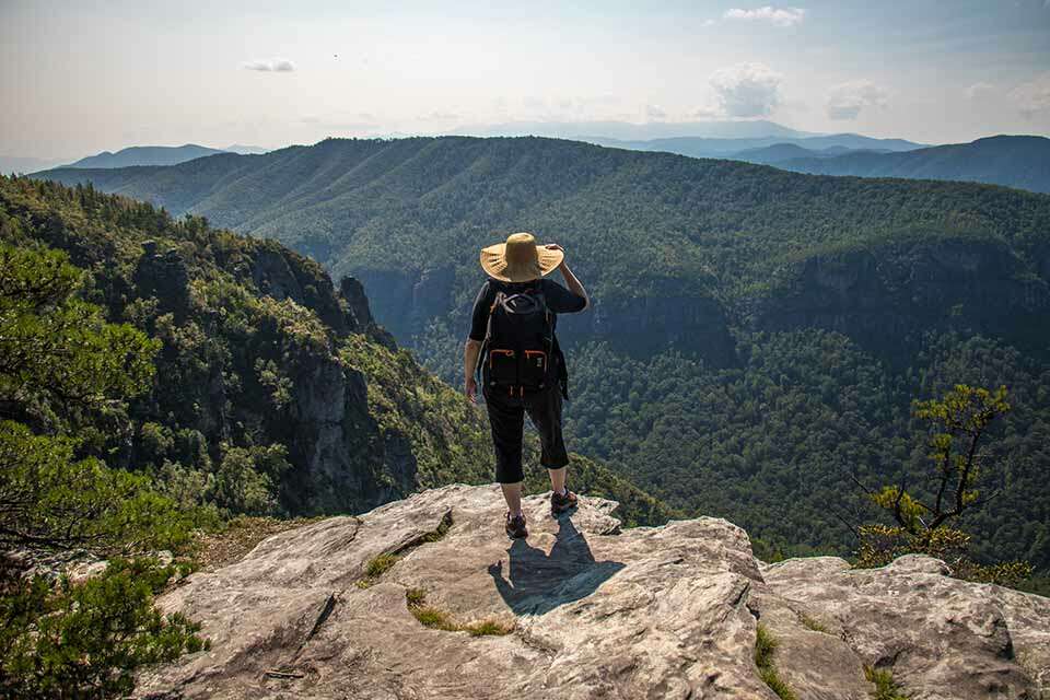
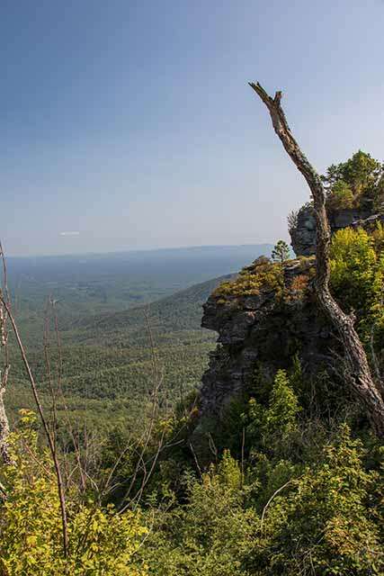
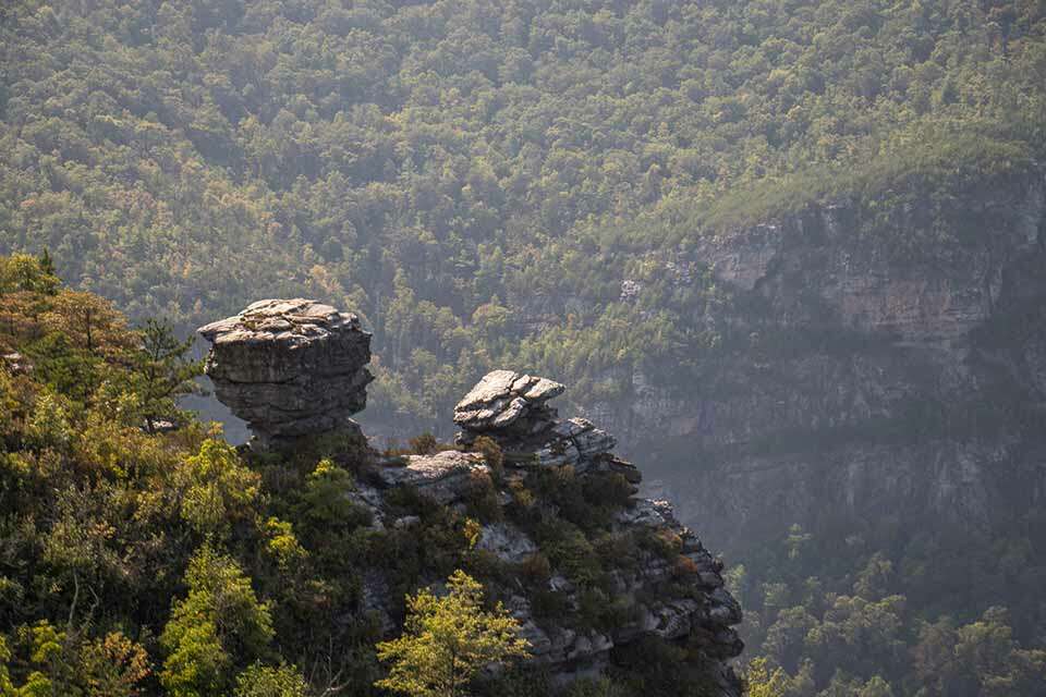
One of the many views available along the hike at The Chimneys. There are numerous side trails at The Chimneys, each with epic views. The Chimneys has some of the most unique rock formations of the Linville Gorge.
The Linville Gorge Wilderness area of Western North Carolina has a number of trails that explore the various features, areas, and mountains in this rugged wilderness. One of these areas is known as The Chimneys and it features some of the most beautiful and striking rock formations of the gorge. It is a very popular spot for rock climbers who are attracted to the sheer cliffs but it is also a very popular hiking destination for people who want to just enjoy the pristine beauty of the gorge. It is a moderate 1 1/2 mile round trip hike that borrows a piece of the Mountains to Sea trail. The trail also has a moderate elevation change and, like many of the trails in the Linville Gorge area, it does have some extremely exposed sections.
The trailhead for the Chimneys starts at the Table Rock picnic area which is located at the end of Old Table Rock on the east side of the Gorge south of Newland and north of Morganton. Old Table Rock road is a paved road but you have to travel about 7 miles on unpaved roads to reach it. You will approach from Highway 181 and turn on Ginger Cake Road following the signs to Table Rock. Ginger Cake Road, however, loops and intersects Highway 181 twice. So if you are approaching from the South, you will turn left on the first Ginger Cake Road. If you approach from the North, you will turn right on the second Ginger Cake Road; about 4 miles south of the Blue Ridge Parkway. From Ginger Cake road bear left onto Table Rock Road which quickly becomes unpaved. You will travel on Table Rock Road for about 5 and 1/2 miles turning right on FS 210B. Follow this for about 1 and 1/2 miles bearing right onto the paved Old Table Rock Road following this all of the way to the end where there is a large multi-level parking lot. There are restroom facilities onsite as well as numerous picnic tables.
The trail starts out on the side of the parking opposite Table Rock Mountain, to the right of the rustic restrooms. Initially it is a gradual incline as you wander through the picnic and camping areas. After a few informative sign boards, the trail starts up a short incline to the top of the ridge. It isn’t too long and you reach the first of many short spurs to various views throughout the trail. Most of these are very short and worth checking out but you do have to be mindful of the numerous cliffs in the area which are beautiful but also potentially very dangerous. It is likely that you will see people rock climbing on or slack lining across the numerous crags that are present.
As you wander across the top of the ridge, the trail goes up and down small rocky hills with some of them requiring your hands to either squeeze through a gap or work your way down a large step. None of it is too difficult to navigate. While this hike isn’t too long, it’s quite beautiful with numerous rock formations that are just one after another. The Chimneys make for a very beautiful spot to explore.
Since we are borrowing a piece of the Mountains to Sea trail, this trail continues on far beyond The Chimneys. It will be very obvious when you reach the end of the Chimneys as the rocky area stops suddenly and the trail is more of a forest trail as it traverses a flatter section of the ridge. If you were to continue, you would reach Shortoff Mountain in about 5 miles. However, if you want to keep your hike to just the Chimneys, turn around and head safely back to the parking area.


1 thought on “The Chimneys”